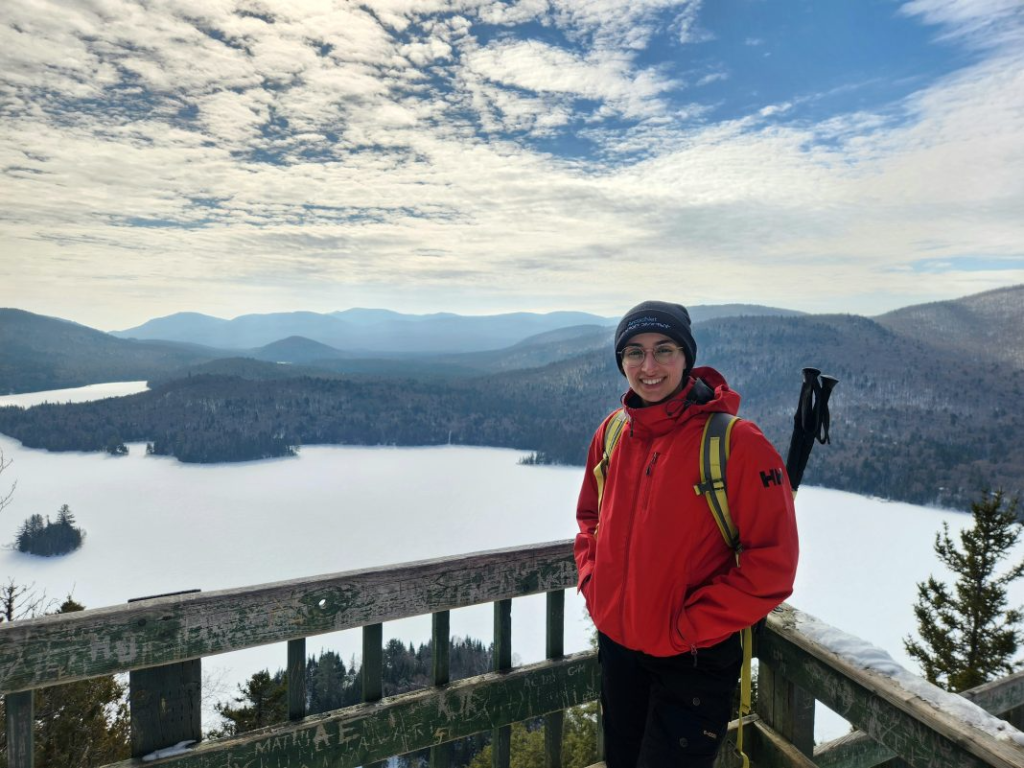
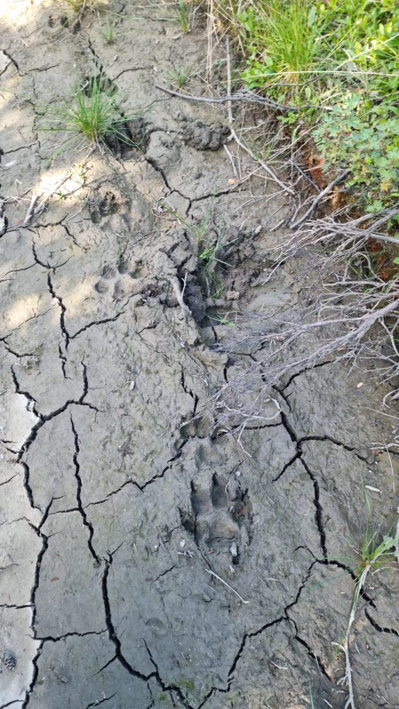
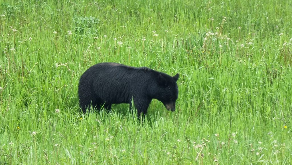
Hi, Earth Rangers! My name is Sandra Yaacoub. I study geography at Queen’s University. Right now, I’m working with a team in the taiga – also known as the snow forest or boreal forest – in southwest Yukon. Up here, we see a lot of wild animals, including lynxes!
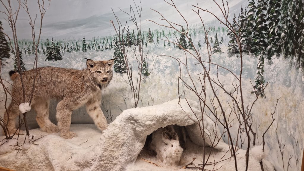
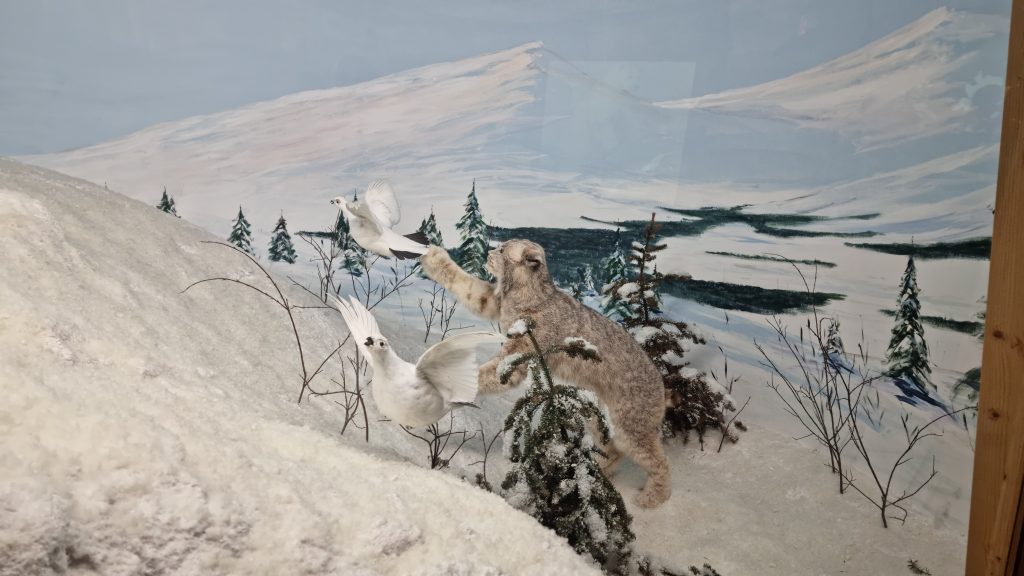
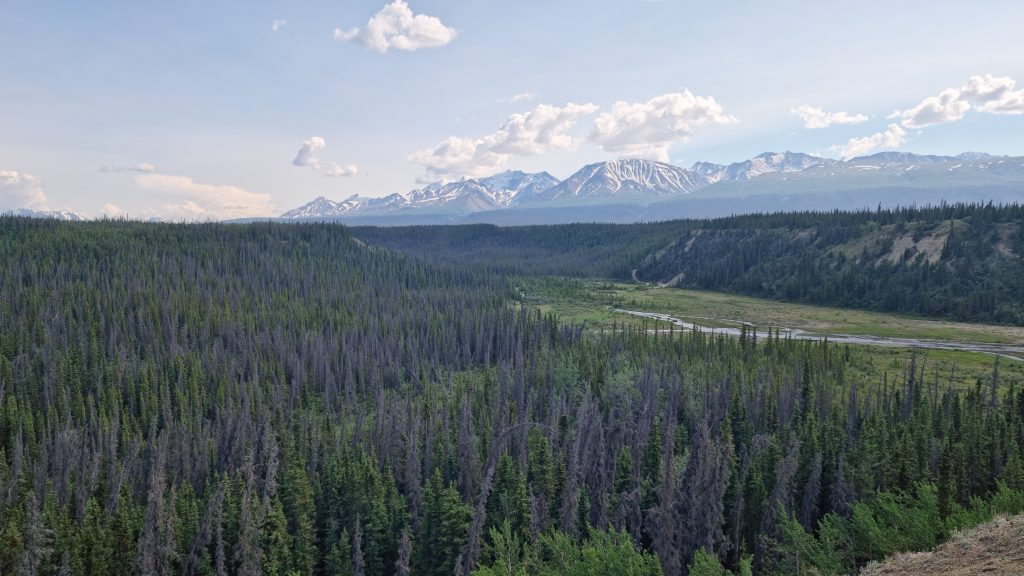
Unfortunately, an invasive species called the spruce bark beetle has killed a lot of trees in the forests that the lynxes call home.
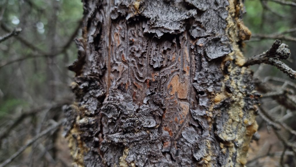
When you adopt a lynx, you’re helping my team study the damage to the trees and measure how the forest is recovering. We’ll share what we find with local Indigenous communities. Together, we’ll come up with solutions to save the lynxes’ habitat.
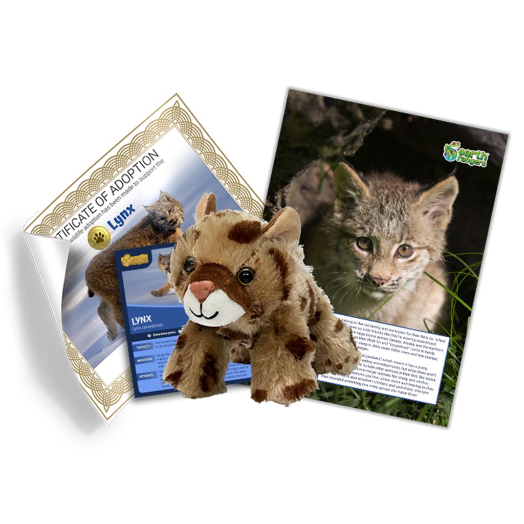
Are you ready to make a difference too? Visit the Adoptions section in the Earth Rangers App or check out the Earth Rangers Shop to adopt your own lynx and support my research!
Seeing the Forest for the Trees
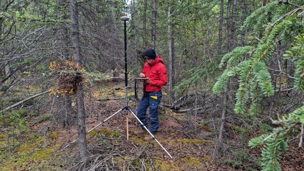
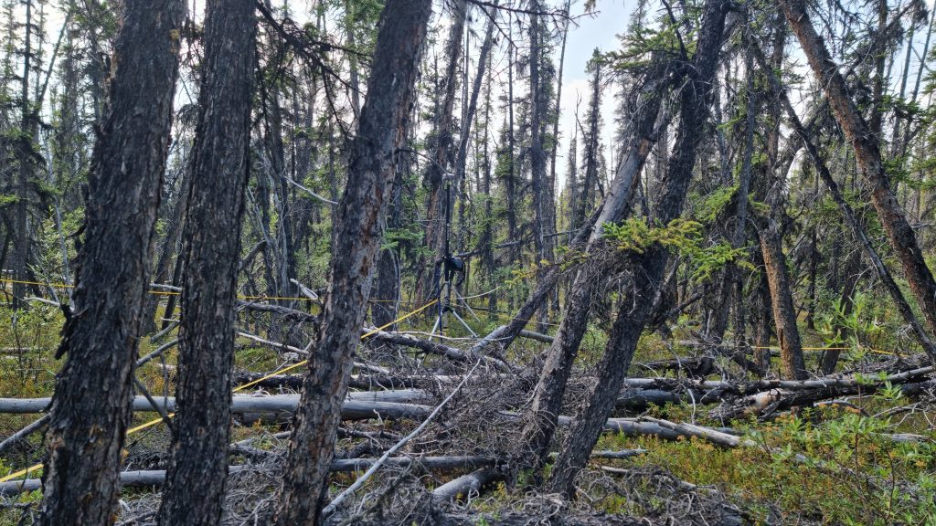
This summer, my assistant and I worked in Kluane, Yukon, a beautiful area full of forests and mountains. We stayed at the Kluane Lake Research Station and camped at Kathleen Lake for 11 days. To study the trees and plants, we visited 51 different spots! During this trip, we measured approximately:
- 2,400 mature trees
- 2,600 re-growing trees
- 700 shrub points
- 260 fallen dead tree sections
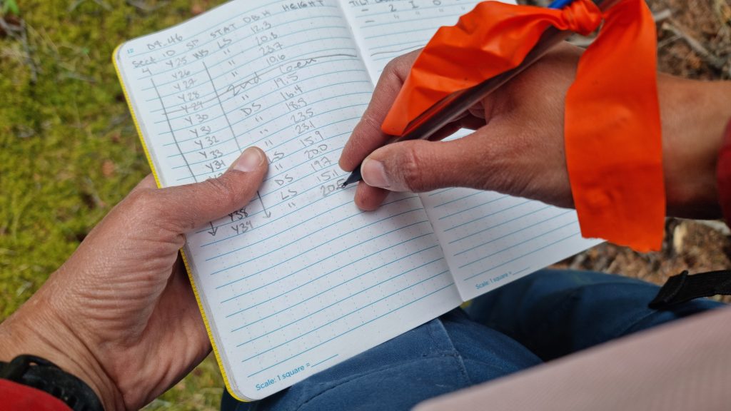
Normally, we use tablets to keep records of what we discover. But the tough conditions in Kluane forced us to take notes by hand. We ended up filling over 20 notebooks! When we got back to our lab at Queen’s University, it took weeks to transfer all of our notes to computers.
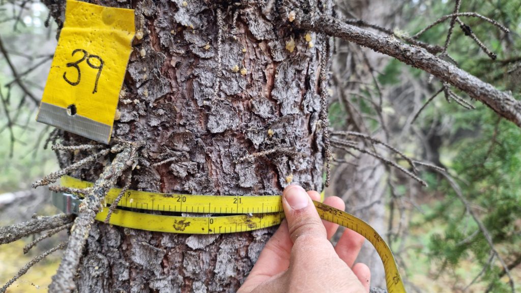
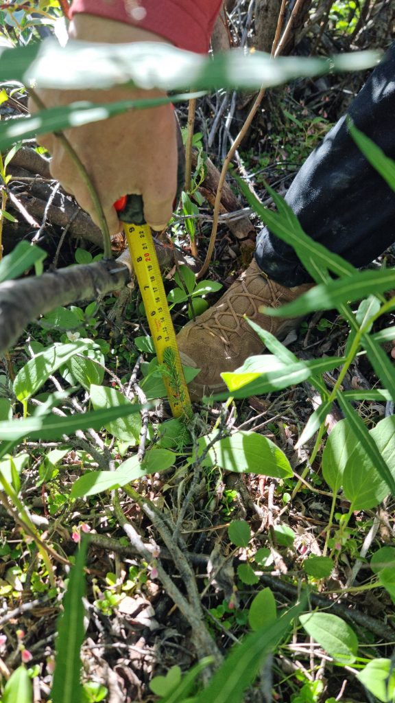
We had already taken similar measurements during the summer of 2022. Between these two trips, we measured approximately:
- 4900 mature trees
- 6200 re-growing trees
- 650 fallen dead tree sections
- 1700 shrub points
Using the data we collected, I created maps and charts that clearly show where the spruce bark beetle damaged trees and where the forest is recovering. I shared these maps with First Nations communities in Yukon so they can develop solutions for saving lynxes.
It’s a Bird, It’s a Plane!
Special NASA airplanes take pictures of Kluane’s forests from high above. They use a tool called AVIRIS-3, which can see things that the human eye can’t. This sensor is called an imaging spectrometer (pronounced IM-uh-jing speck-TRAW-meh-tur). It captures light energy that gives us important information about the health of our forests.
We use computer code, plus the measurements we took, to connect the light information from AVIRIS-3 with observations from the ground, like the number of dead trees in the landscape. We need to make sure that the images from the NASA planes match what we saw on the ground.
With this data, we create detailed maps of Kluane’s forests. People can use these maps to protect wildlife like lynxes and prepare for natural disasters like forest fires.
How Can I Help?
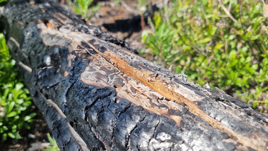
There are many ways to support my work! Just by reading this blog, you’re learning more about the challenges that northern forests face. Climate change is making forest fires and spruce bark beetle infestations (a word for what happens when there are too many insects in one place) more severe and frequent. This makes it harder for wild animals like lynxes to find food and shelter.
The good news? The more people know about these issues, the more support we can get for tools like satellites to monitor forests changes. You can talk to your friends, teachers, and neighbours about what you’ve learned in this blog post! You can also make posters to educate others, run a lemonade stand to raise money for conservation, or even adopt your own lynx in the Earth Rangers Shop!
Want to Be a Conservationist Like Me?
Conservation is all about protecting nature, and there are lots of ways to get involved! As an Earth Ranger, you have plenty of time to explore and learn what you enjoy most about conservation. You could work in forests, oceans, or glaciers – the possibilities are endless!
One important way to help nature is by making maps, just like I do! I use tools like satellites, drones, and computer coding to make my maps. You’re never too young to learn coding, so this is a great place to start! You can also learn about maps and practice mapping different areas in your community.


First on my adoption list:>
Hi.
Was’t that lynx at the animal meet and greet